


Bild: spsg
Sacrow Palace
Sacrow Palace (Schloss Sacrow) was built in 1773 for the Swedish Lieutenant General von der Hordt as a baroque manor house. Sacrow Palace
 Former border crossings
 Former waterway checkpoint In Karte anzeigen
Former waterway checkpoint In Karte anzeigen
 Museums and exhibitions
  Memorials
 "Entenschnabel" In Karte anzeigen
Cherry tree avenue In Karte anzeigen
Memorial stone recalling Germany's division In Karte anzeigen
Memorial "Mauerkletterer" In Karte anzeigen
Klein Glienicke In Karte anzeigen
Fichtewiese/Erlengrund In Karte anzeigen
Memorial for desecrated graves In Karte anzeigen
Memorial stone for German unification In Karte anzeigen
Cherry tree avenue and memorial stone In Karte anzeigen
 Artistic markers
 Wall sculpture: "Border Crosser" In Karte anzeigen
 Memorial sites for the victims of the Berlin Wall
  Commemorative sites
  Remains of the Wall
 Checkpoint Qualitz In Karte anzeigen
Remains of the Wall on Martin-Luther-Straße In Karte anzeigen
Remains of the Wall on Schönwalder Allee In Karte anzeigen
Remains of the Wall at Griebnitzsee In Karte anzeigen
Section of the Wall at Potsdamer Platz In Karte anzeigen
 Historical information
 Berlin Wall History Mile Frank, Mispelhorn, Einsiedel und Proksch, Klemkestraße In Karte anzeigen
Berlin Wall History Mile Jörg Hartmann u.a. Kiefholzstraße Denkmal In Karte anzeigen
Information and orientation system Berlin Wall Brunnenstrasse In Karte anzeigen
Information and orientation system Berlin Wall Spreebogenpark In Karte anzeigen
Info board at Klein Glienicke In Karte anzeigen
Info board: "Tunnel escape" In Karte anzeigen
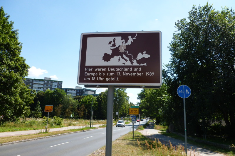
Info board at former watchtower In Karte anzeigen
Info board at Steinstücken In Karte anzeigen
Info board Rudower Strasse In Karte anzeigen
Info board at border crossing Waltersdorfer Chaussee In Karte anzeigen
Info board at Kölner Damm In Karte anzeigen
 Places of interest
  Other key sites
 Governing Mayor of Berlin – Senate Chancellery –


